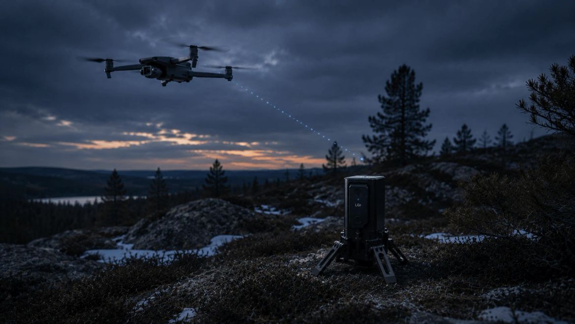
Field demonstration — a UAV operating alongside a deployed sensor node.
How it works
From detection
to verified picture.
Detection
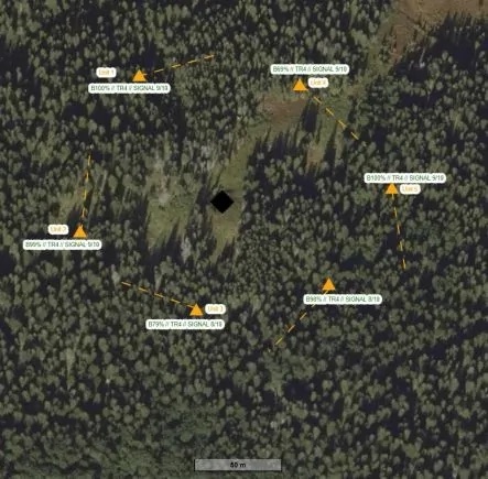
An MLTS sensor node registers movement via 24 GHz radar and sends a geo-referenced alert to the operator's interface.
Dispatch
Munin is designed to receive the alert, evaluate it, and recommend a compatible UAV from the nearest staging point, routing it toward the detection coordinates.
Verify
The UAV streams live video to the operator's rugged tablet or C2 system. The operator sees what the sensor actually picked up — within seconds, from a safe distance.
Act
The operator confirms, dismisses, or escalates from the same interface MLTS already uses. No new training, no additional workstation.
One interface
The same operator view,
extended.
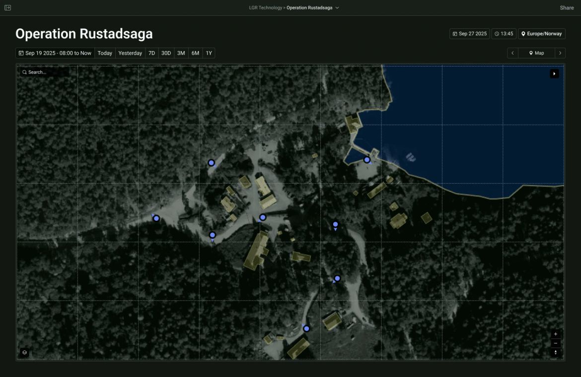
The operator interface Munin is designed to extend — detections placed on the map, confirmed from the same view.
Why Munin
A sensor ping is a question.
Munin answers it.
Eyes on target
See it, don't guess it
Visual confirmation within seconds turns an ambiguous detection into a clear picture — before anyone is committed to the field.
Automatic dispatch
The drone routes itself
Munin is designed to select a compatible UAV from the nearest staging point and route it to the detection coordinates automatically.
Built on MLTS
One interface, no retraining
Confirm, dismiss, or escalate from the same tablet and C2 integration operators already use. No new workstation.
Named for one of Odin's ravens — sent out ahead to see, and to return with what it found.
Want to know
more about Munin?
Munin is in active development. Tell us about your use case and we'll share more as it takes shape.